-
- Berkshire FHS Publications, CDs, Maps
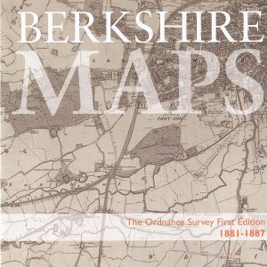
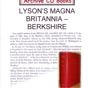
Berkshire Maps, Ordnance Survey Maps, First Edition, 1881-1887 (CD)
- £12.50
- This disc includes all those 6 inch to the mile scale, first edition OS maps of Berkshire, scanned from the set held at Berkshire Record Office compressed to fit on one CD. A total of 51 maps are included, with an index and bookmarks for each map.
- Add to basket
-
- Berkshire FHS Publications, Maps
Berkshire Parish Map
- £1.00
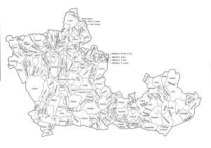
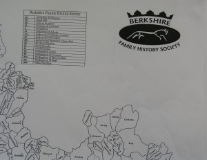
- An A3 size map of the old county of Berkshire showing the parish boundaries mid-19th century. At this price you can afford to happily add your own comments and annotations.
- Add to basket
-
- Maps
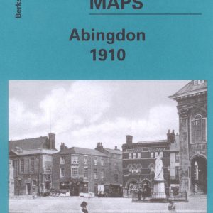
Abingdon, Old Ordnance Survey Map, 1910
- £3.50
- This map is part of a series of town maps with a scale of about 15 inches to the mile. They show not just the streets but virtually every house, track layouts of railways and tramways, factories, mills and docks.
- Add to basket
-
- Maps
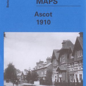
Ascot, Old Ordnance Survey Map, 1910
- £3.50
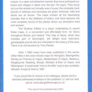
- This map is part of a series of town maps with a scale of about 15 inches to the mile. They show not just the streets but virtually every house, track layouts of railways and tramways, factories, mills and docks.
- Add to basket
-
- Out of Stock
- Maps
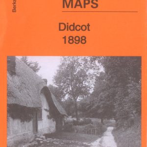
Didcot, Old Ordnance Survey Map, 1898
- £3.50
- Large Scale Town Map approach 152 to the mile.
- Read more
-
-
- Sale!
- Maps, Parish Registers - all denominations
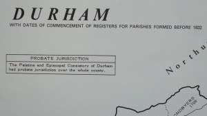
Durham Parish Register Map (IHGS)
- Original price was: £4.50.£2.25Current price is: £2.25.
- Add to basket
-
- Maps
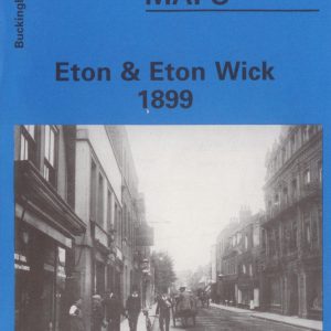
Eton & Eton Wick, Old Ordnance Survey Map, 1899
- £3.00
- This map is part of a series of town maps with a scale of about 15 inches to the mile. They show not just the streets but virtually every house, track layouts of railways and tramways, factories, mills and docks.
- Add to basket
-
- Out of Stock
- Maps
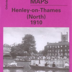
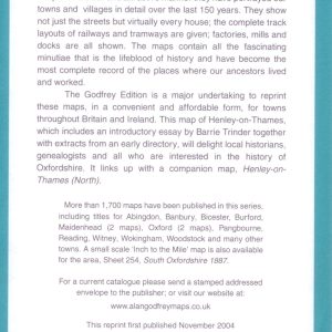
Henley-on-Thames (North), Old Ordnance Survey Map 1910
- £3.50
- This map is part of a series of town maps with a scale of about 15 inches to the mile. They show not just the streets but virtually every house, track layouts of railways and tramways, factories, mills and docks.
- Read more
-
-
- Maps
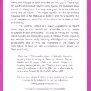
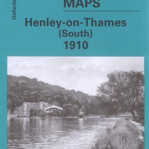
Henley-on-Thames (South), Old Ordnance Survey Map 1910
- £3.50
- This map is part of a series of town maps with a scale of about 15 inches to the mile. They show not just the streets but virtually every house, track layouts of railways and tramways, factories, mills and docks.
- Add to basket
-
- Maps
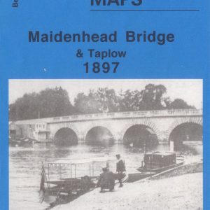
Maidenhead Bridge and Taplow, Old Ordnance Survey Map, 1897
- £2.25
- This map is part of a series of town maps with a scale of about 15 inches to the mile. They show not just the streets but virtually every house, track layouts of railways and tramways, factories, mills and docks.
- Add to basket
-
- Maps
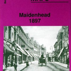
Maidenhead, Old Ordnance Survey Map, 1897
- £3.00
- This map is part of a series of town maps with a scale of about 15 inches to the mile. They show not just the streets but virtually every house, track layouts of railways and tramways, factories, mills and docks.
- Add to basket
-
- Maps
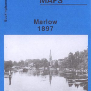
Marlow, Old Ordnance Survey Map, 1897
- £3.00
- This map is part of a series of town maps with a scale of about 15 inches to the mile. They show not just the streets but virtually every house, track layouts of railways and tramways, factories, mills and docks.
- Add to basket
-
- Out of Stock
- Maps
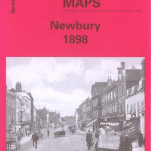
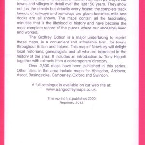
Newbury 1898, Old Ordnance Survey Maps
- £3.50
- Read more
-
-
- Sale!
- Maps, Parish Registers - all denominations
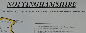
Nottinghamshire Parish Register Map (IHGS)
- Original price was: £2.25.£1.00Current price is: £1.00.
- Add to basket
-
- Maps
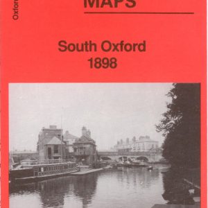
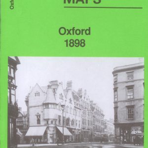
Oxford, Old Ordnance Survey Map, 1898
- £3.00
- This map is part of a series of town maps with a scale of about 15 inches to the mile. They show not just the streets but virtually every house, track layouts of railways and tramways, factories, mills and docks.
- Add to basket
-
- Maps
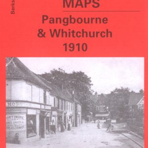
Pangbourne & Whitchurch, Old Ordnance Survey Map, 1910
- £3.50
- This map is part of a series of town maps with a scale of about 15 inches to the mile. They show not just the streets but virtually every house, track layouts of railways and tramways, factories, mills and docks.
- Add to basket
-
- Maps
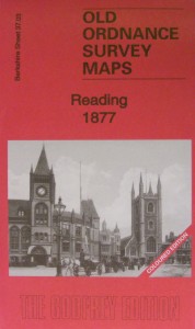
Reading, Old Ordnance Survey map, 1877, in colour
- £5.00
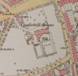
- New!! In colour. This map of Reading will be a good research tool for family and local historians and all who are interested in the area reproduced from the 1877 hand coloured map to a scale of about 15" to the mile.
- Add to basket
-
- Maps
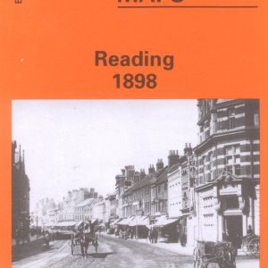
Reading, Old Ordnance Survey Map, 1898
- £3.50
- This map is part of a series of town maps with a scale of about 15 inches to the mile. They show not just the streets but virtually every house, track layouts of railways and tramways, factories, mills and docks.
- Add to basket
-
- Maps
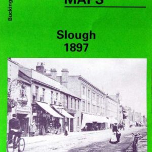
Slough, Old Ordnance Survey Map, 1897
- £3.50
- This map is part of a series of town maps with a scale of about 15 inches to the mile. They show not just the streets but virtually every house, track layouts of railways and tramways, factories, mills and docks.
- Add to basket
