-
- Maps
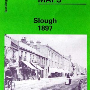
Slough, Old Ordnance Survey Map, 1897
- £3.50
- This map is part of a series of town maps with a scale of about 15 inches to the mile. They show not just the streets but virtually every house, track layouts of railways and tramways, factories, mills and docks.
- Add to basket
-
- Maps
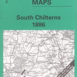
South Chilterns, One Inch Old Ordnance Survey Map, 1886
- £3.00
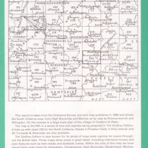
- This reprint of the One Inch Ordnance Survey map of 1886 shows the South Chiltons area from High Wycombe and Marlow as far east as Rickmansworth and Hillingdon with a large scale plan of Chalfont St Peter, and a history of the area by Elizabeth Lockwood.
- Add to basket
-
- Maps
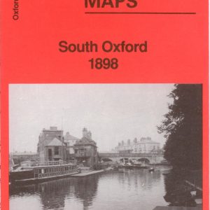
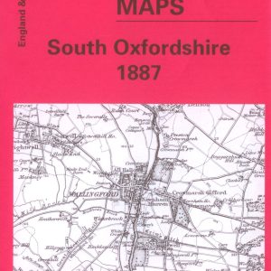
South Oxford, Old Ordnance Survey Map, 1898
- £3.50
- This map is part of a series of town maps with a scale of about 15 inches to the mile. They show not just the streets but virtually every house, track layouts of railways and tramways, factories, mills and docks.
- Add to basket
-
- Maps
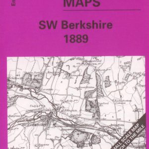
South West Berkshire, 1″ Old Ordnance Survey Map, 1889
- £3.00
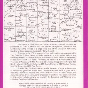
- Reproduced from the One Inch Ordnance Survey map of 1889 and showing the area around Hungerford, Newbury, and Lambourn. With a large scale plan of the village of Ramsbury and an essay on the area by Tony Higgott.
- Add to basket
-
- Maps
Vale of the White Horse, One Inch Old Ordnance Survey Map, 1893
- £3.00
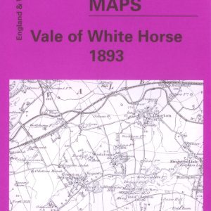
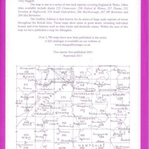
- Reprinted from the One Inch Ordnance Survey map of 1893 and showing the area around Abingdon, Didcot and Wantage. On the reverse is a large scale map of Faringdon and an essay on the history of the area by Tony Higgott.
- Add to basket
-
- Books, Maps
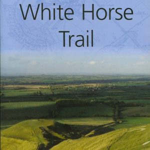
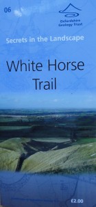
White Horse Trail
- £2.00
- Uffington White Horse is on the crest of White Horse Hill, which is the highest point in Oxfordshire.This leaflet describes a circular walk around White Horse Hill, about 5.5 miles.
- Add to basket
-
- Maps
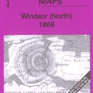
Windsor (North) Old Ordnance Survey Map 1868
- £3.00
- Large scale Town Map 15" to the mile.
- Add to basket
-
- Maps
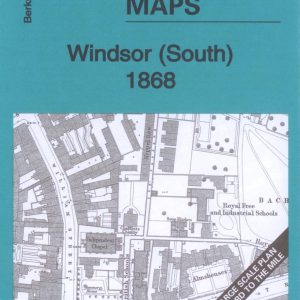
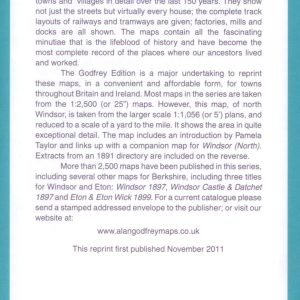
Windsor (South) Old Ordnance Survey Map 1868
- £3.50
- Large Scale Town Map approx 15" to the mile.
- Add to basket
-
- Maps
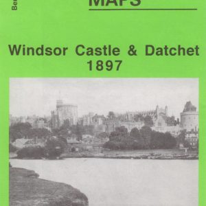
Windsor Castle & Datchet, Old Ordnance Survey Map, 1897
- £3.50
- This map is part of a series of town maps with a scale of about 15 inches to the mile. They show not just the streets but virtually every house, track layouts of railways and tramways, factories, mills and docks.
- Add to basket
-
- Maps
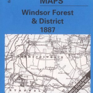
Windsor Forest & District, One Inch Old Ordnance Survey Map, 1887
- £3.50
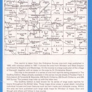
- Reprinted from the One Inch Ordnance Survey map of 1880 and showing the area from Windsor and West Drayton southward to Bagshot and Weybridge. With large scale map of Stanwell together with an essay on the area by Dr Christopher Board.
- Add to basket
-
- Maps
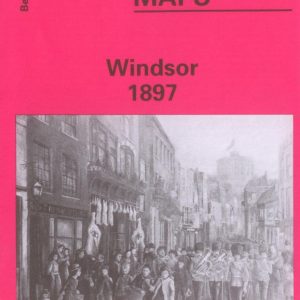
Windsor, Old Ordnance Survey Map, 1897
- £3.75
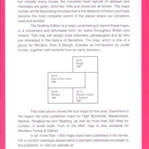
- This map is part of a series of town maps with a scale of about 15 inches to the mile. They show not just the streets but virtually every house, track layouts of railways and tramways, factories, mills and docks.
- Add to basket
-
- Maps
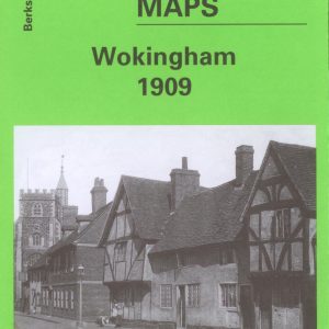
Wokingham, Old Ordnance Survey Map, 1909
- £3.50
- This map is part of a series of town maps with a scale of about 15 inches to the mile. They show not just the streets but virtually every house, track layouts of railways and tramways, factories, mills and docks.
- Add to basket