-
- CDs, Directories, Maps
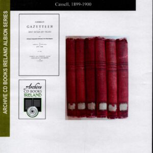
Cassell’s Gazetteer of Great Britain & Ireland 1899-1900
- £20.00
- Originally published in 6 volumes of over 3000 pages, 60 cloured maps and many illustrations this CD details every settlement from county to hamlet, and the main geographic and topographic features of the whole of Great Britain and Ireland.
- Add to basket
-
- Books, Local and Social History, Maps
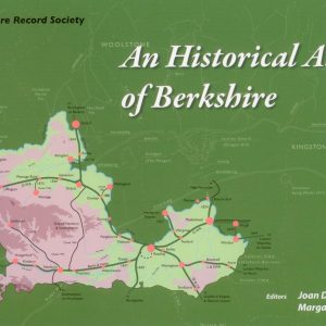
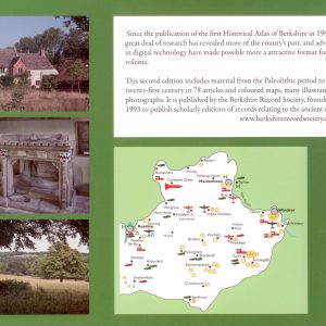
An Historical Atlas of Berkshire, (2nd Edition)
- £20.00
- This new enlarged edition with 74 articles on Berkshire's history from the Palaeolithic to 21st century each accompanied by maps in full colour, and with numerous illustrations. Indispensable to those with Berkshire ancestors. Joan Dils and Margaret Yates, editors (Berkshire Record Society, 2012) Second edition ISBN: 9780 9548 7169 7
- Add to basket
-
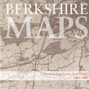
- Berkshire FHS Publications, CDs, Maps
Berkshire Maps, Ordnance Survey Maps, First Edition, 1881-1887 (CD)
- £12.50
- This disc includes all those 6 inch to the mile scale, first edition OS maps of Berkshire, scanned from the set held at Berkshire Record Office compressed to fit on one CD. A total of 51 maps are included, with an index and bookmarks for each map.
- Add to basket
-
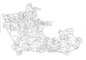
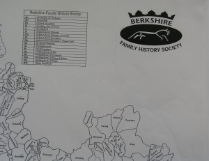
- Berkshire FHS Publications, Maps
Berkshire Parish Map
- £1.00
- An A3 size map of the old county of Berkshire showing the parish boundaries mid-19th century. At this price you can afford to happily add your own comments and annotations.
- Add to basket
-
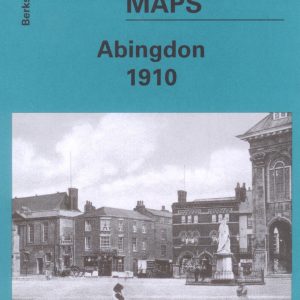
- Maps
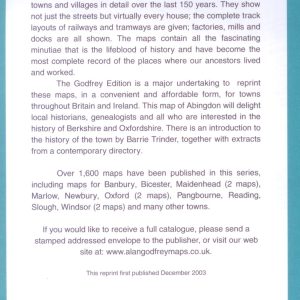
Abingdon, Old Ordnance Survey Map, 1910
- £3.50
- This map is part of a series of town maps with a scale of about 15 inches to the mile. They show not just the streets but virtually every house, track layouts of railways and tramways, factories, mills and docks.
- Add to basket
-
- Maps
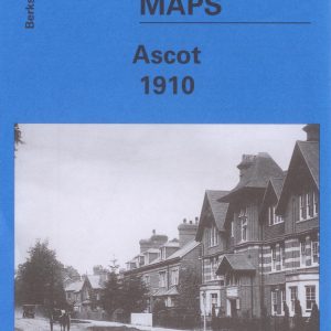
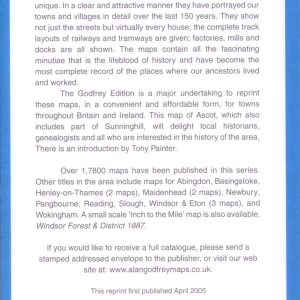
Ascot, Old Ordnance Survey Map, 1910
- £3.50
- This map is part of a series of town maps with a scale of about 15 inches to the mile. They show not just the streets but virtually every house, track layouts of railways and tramways, factories, mills and docks.
- Add to basket
-
- Maps
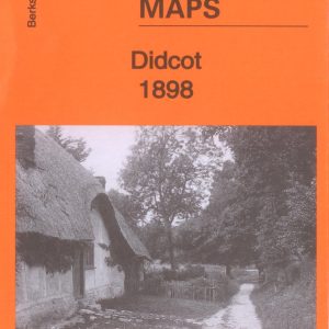
Didcot, Old Ordnance Survey Map, 1898
- £3.75
- Large Scale Town Map approach 152 to the mile.
- Add to basket
-
- Sale!
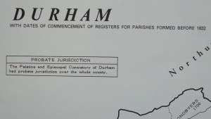
- Maps, Parish Registers - all denominations
Durham Parish Register Map (IHGS)
- Original price was: £4.50.£2.25Current price is: £2.25.
- Add to basket
-
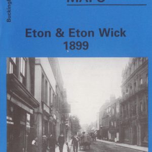
- Maps
Eton & Eton Wick, Old Ordnance Survey Map, 1899
- £3.00
- This map is part of a series of town maps with a scale of about 15 inches to the mile. They show not just the streets but virtually every house, track layouts of railways and tramways, factories, mills and docks.
- Add to basket
-
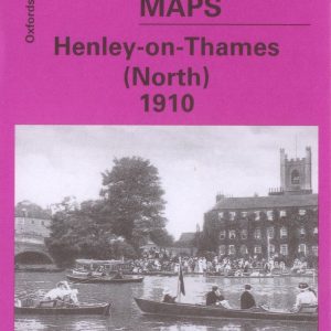
- Maps
Henley-on-Thames (North), Old Ordnance Survey Map 1910
- £3.75
- This map is part of a series of town maps with a scale of about 15 inches to the mile. They show not just the streets but virtually every house, track layouts of railways and tramways, factories, mills and docks.
- Add to basket
-
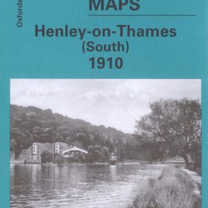
- Maps
Henley-on-Thames (South), Old Ordnance Survey Map 1910
- £3.75
- This map is part of a series of town maps with a scale of about 15 inches to the mile. They show not just the streets but virtually every house, track layouts of railways and tramways, factories, mills and docks.
- Add to basket