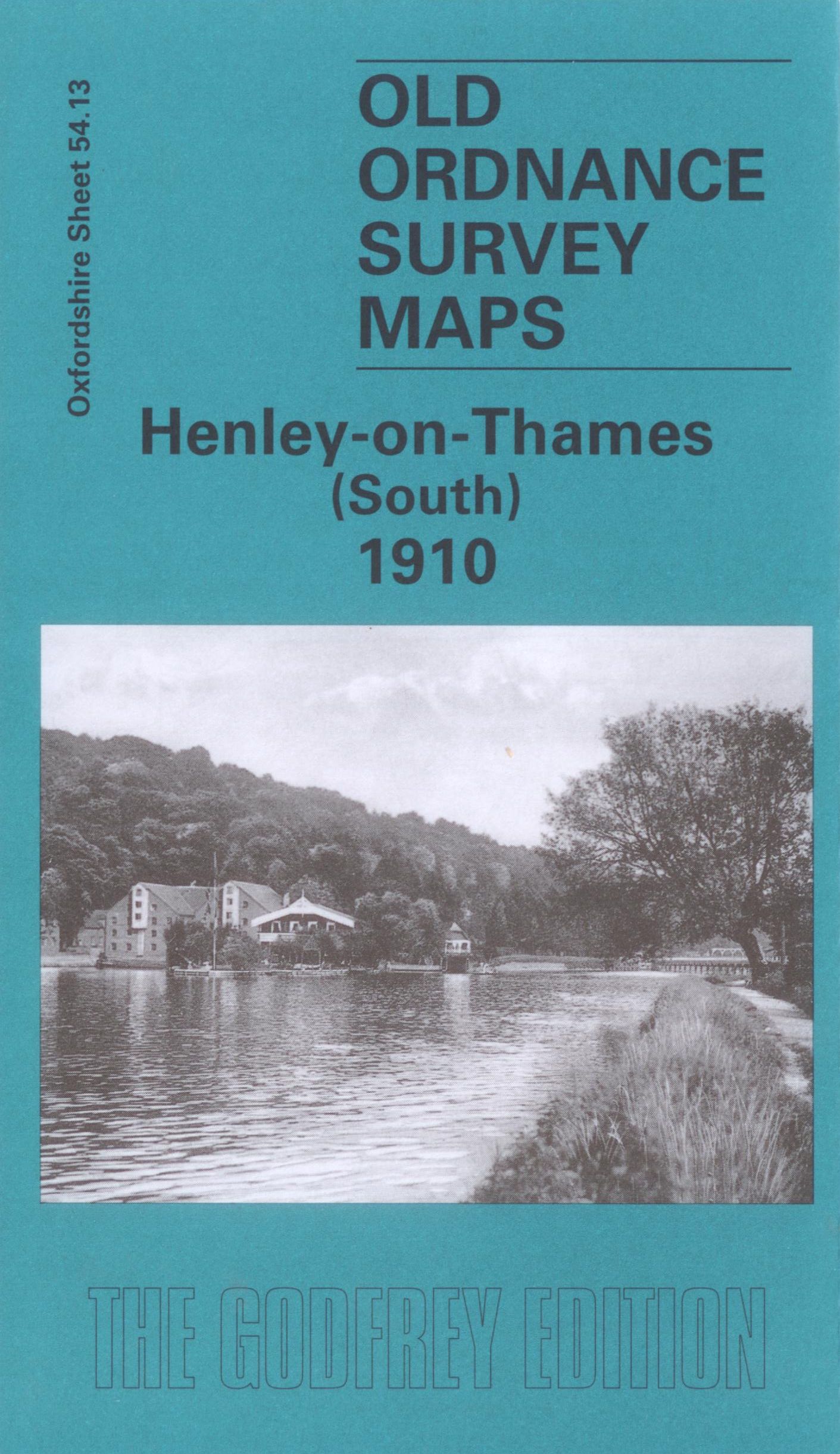
Henley-on-Thames (North), Old Ordnance Survey Map 1910
£3.50
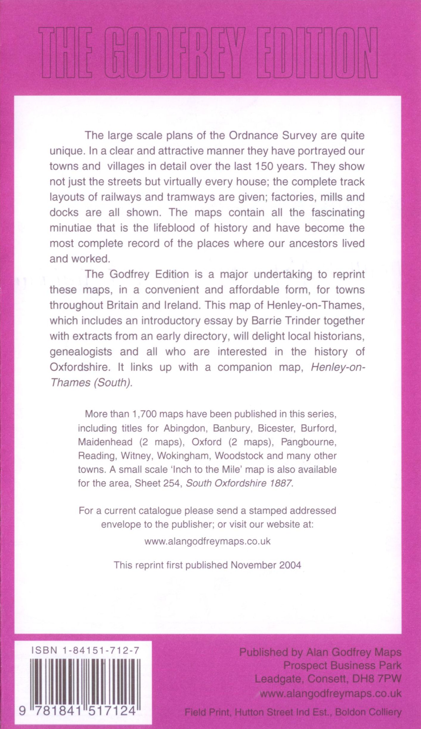
This map is part of a series of town maps with a scale of about 15 inches to the mile. They show not just the streets but virtually every house, track layouts of railways and tramways, factories, mills and docks.
Out of stock
Description
This map is part of a series of town maps with a scale of about 15 inches to the mile. They show not just the streets but virtually every house, track layouts of railways and tramways, factories, mills and docks. ISBN: 1 84151 712 7 Edition: 2004 rep
Additional information
| Weight | 150 g |
|---|


